
 “If you didn’t want to be found, this would definitely be the place to go,” says the pilot of the small boat, laughing. We turn around again. It’s a bright and chilly Sunday morning. I am surrounded on all sides by narrow ribbons of water that slither throughout the marshes of lower St. Bernard parish. Winter has rendered the marshgrass a pale gold, and the wind rattles the dry stalks together. The boat is captained by a friend: he’s a native of Plaquemines parish, and spends most of his days boating through or flying above the lower Mississippi delta around New Orleans. But even with his knowledge of the ins and outs of the meandering waterways between the city and the Gulf, a computer tablet running Googlemaps, and a navigational chart bought at the Hopedale marina, we’re a little lost.
We’re weaving northeast towards Bayou St. Malo. In the late 1700s, during Spanish rule, Bayou St. Malo was the territory of the largest band of escaped slaves in the region. They were known as Maroons, a term derived from the French word marronage, which more or less means “to run away.” The inhabitants of St. Malo lived off of the land, hunting and fishing in the marshes. They worked in the cypress mills that spread like fractals in the swamps. They built permanent settlements along the southern shore of Lake Borgne, and defended their territory from incursions with weapons stolen from the plantations they had escaped. “Woe to the white who would pass this boundary,” was purported to be written next to an axe buried deep into a cypress tree on the edge of their autonomous zone.
The band of Maroons on the shores of Lake Borgne were led by Jean St. Malo, an enigmatic man whose presence in history books is limited to a folk song extolling a man who organized revolution against the planters, and his execution date.
 The existence of a large band of militant free Maroons, so close to New Orleans and the plantations clinging to the sides of the Mississippi River, was dangerous to the ruling planters. The Maroons exerted constant pressure on the regime of slavery, from pilfered animals and weapons to the desertion of more slaves. The Spanish government grew increasingly desperate to capture the Maroons and abolish the colonies, but the confusing waterways and impenetrable swamps surrounding the settlements made it impossible for a regular military campaign to be effective. Instead, they mounted a counter-insurgency strategy based on destroying the networks of support the Maroons relied upon. The movement of slaves was restricted, and trade between slaves and other communities was outlawed, choking off supplies to the Maroon colonies. Slaves were promised freedom if they could provide information on where the Maroon colonies were located. Laws were passed holding all free people of color responsible for the crimes of the Maroons, creating tension between communities that previously engaged in commerce with one another. (For a more detailed discussion of the historical and political context of the Maroons and the networks of resistance they built in the swamps, read M.G. Houzeau’s “Undermining Slavery from the Cypress Swamps,” available on the Raging Pelican website, ragingpelican.com.)
Although the government knew where the settlements were by 1782, it took nearly two years, and several attempts, for a successful military raid to occur. On June 14th, 1784, the Spanish government captured 41 Maroons, including Jean St. Malo. Four days later, he was hanged in the public gallows of New Orleans, in what is now Jackson Square. His body was left to rot as a warning to the enslaved.
We are approaching the end of the bayou, and the mouth of Lake Borgne. Fat nutria swim along the muddy banks of the marsh, sliding up the banks and disappearing into the grass. Dozens of massive pelicans, roosting on the long wall of rocks that act as a protective wavebreak separating the chop of the lake from the marshes, take offense at our presence and flap into the sky. We find a small spit of higher ground, and are able to land the boat.
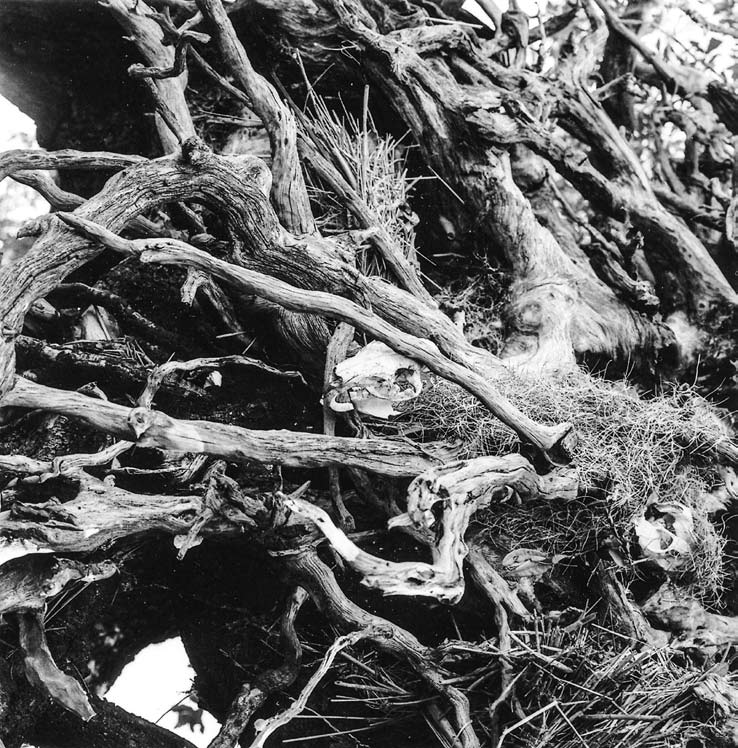
A beach of oyster shells and broken bottles leads up to a copse of live oaks. A downed tree reveals an intricate nest of roots bleached white and smooth by the sun and wind. Someone has artfully placed numerous nutria skulls amongst the tangled roots, which is simultaneously beautiful and creepy. We find a US geologic survey marker from 1934 that has toppled over into the brush that reads ST MALO.
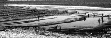 It’s impossible to say whether or not this high ground was once part of the settlement, considering how much the land has changed in 300 years. The cypress swamps are all gone, either logged off or killed off by saltwater intrusion. This stand of trees is the only break in the monotonous horizon of grass, the last bit of solid land surrounded by marsh. It is easy to imagine this place as having always been uninhabited. Unlike many of the other places I go, there are no artifacts, no physical things left behind that can help build a narrative regarding what happened here, who built it, or why it exists. There is only the sun and the wind and the water. But the desolation of Bayou St. Malo is not found in the loneliness of the marshes. It lies in the fact that the Maroons were not able to control their lives even on this difficult to locate margin of the world. The emptiness here is the absence of their survival.
